
Hiking Crown Mountain via the Hanes Valley trail in North Vancouver, BC
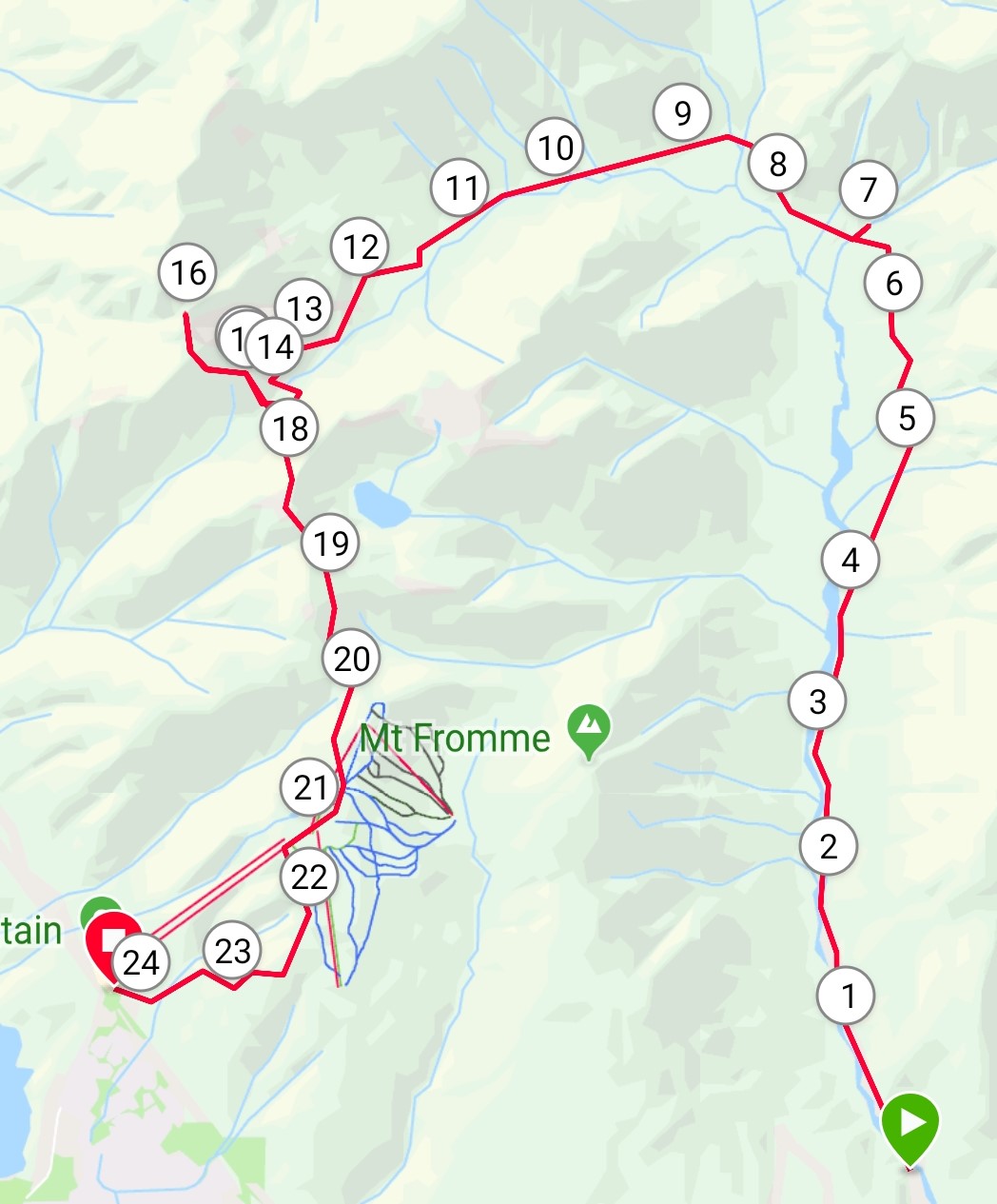
My parameters when searching for a trail are simple: 1) do not repeat hikes (unless they’re amazing); and 2) if the option exists for a loop, take it (ie: avoid “there and back” trails). These were the guiding forces behind my plan for Crown Mountain, a notorious peak behind Grouse that’s been on my list for a few years. Classically, people begin the trail by taking the Grouse gondola up the mountain to access the trailhead. Should you not be interested in paying $60 for a hike however, the alternative is to hike up the Grind or the BCMC trails. But unfortunately, this can make an already tough hike downright nasty due to the grade of this first stretch. A final option, less traveled, is to take the Hanes Valley trail from Lynn Headwaters to the peak of Crown. Following principle #2, I settled on the following loop: take the Hanes Valley trail from Lynn to where it connects with the Grouse backcountry, short detour to Crown Peak, then follow the “traditional” Crown trail back to the Grouse gondola. From here, take the BCMC trail down to the parking lot. To make it a complete human-powered loop, my car would be parked at Grouse, and we’d throw in some bike-packing. So, the final plan: bike from Grouse to Lynn Park, lock up the bikes, hike Hanes Valley, hike Crown, descend to the chalet, descend BCMC to the parking lot, then pick up the bikes in the car on the way to Lebanese food and ice-cream. A full human-powered circle!
Crown and Hanes both have a degree of infamy in the Vancouver hiking world. Crown’s barren head makes it an obvious mountain landmark. But it’s not its height (one of the tallest on the North Shore) that makes it difficult, but it’s elevation profile. Even if you shorten your day with the gondola, the Crown trail involves a massive drop in elevation to Crown Pass, then a very steep climb and scramble to the exposed peak. And of course, you’ve then got to climb out of Crown Pass again on your way home! The Hanes Valley approach, however, sidesteps some of this by providing a straight upward climb to Crown Pass. But what you gain in steadiness, you sacrifice in length and tricky terrain. In fact, Hanes Valley has the honour of being the trail most frequented by North Shore Search and Rescue. They even have a gear cache located in the valley to supply their frequent visits! The easy, gentle terrain of the first section lures in inexperienced or ill-prepared hikers, who then come face to face with the “boulder field” – a wall of boulders and talus that provides pretty much all of the elevation gain from the bottom of the valley to Crown Pass in about one and a half kilometers. But, having trudged my way through dozens of more questionable rock-fields, I felt prepared to tackle the siren song of Hanes.
The day began with a game of Tetris, as two bikes had to be squished into the back of my tiny hatchback. Without too much struggle, they were in, and we were off. We parked on the shoulder just before the Grouse gondola parking lot (free parking!), and hopped on the bikes. A quick ride through North Van (fortunately, mostly downhill) deposited us at the Lynn Headwaters parking lot. We locked up the bikes at the rack, and began our long day on foot.
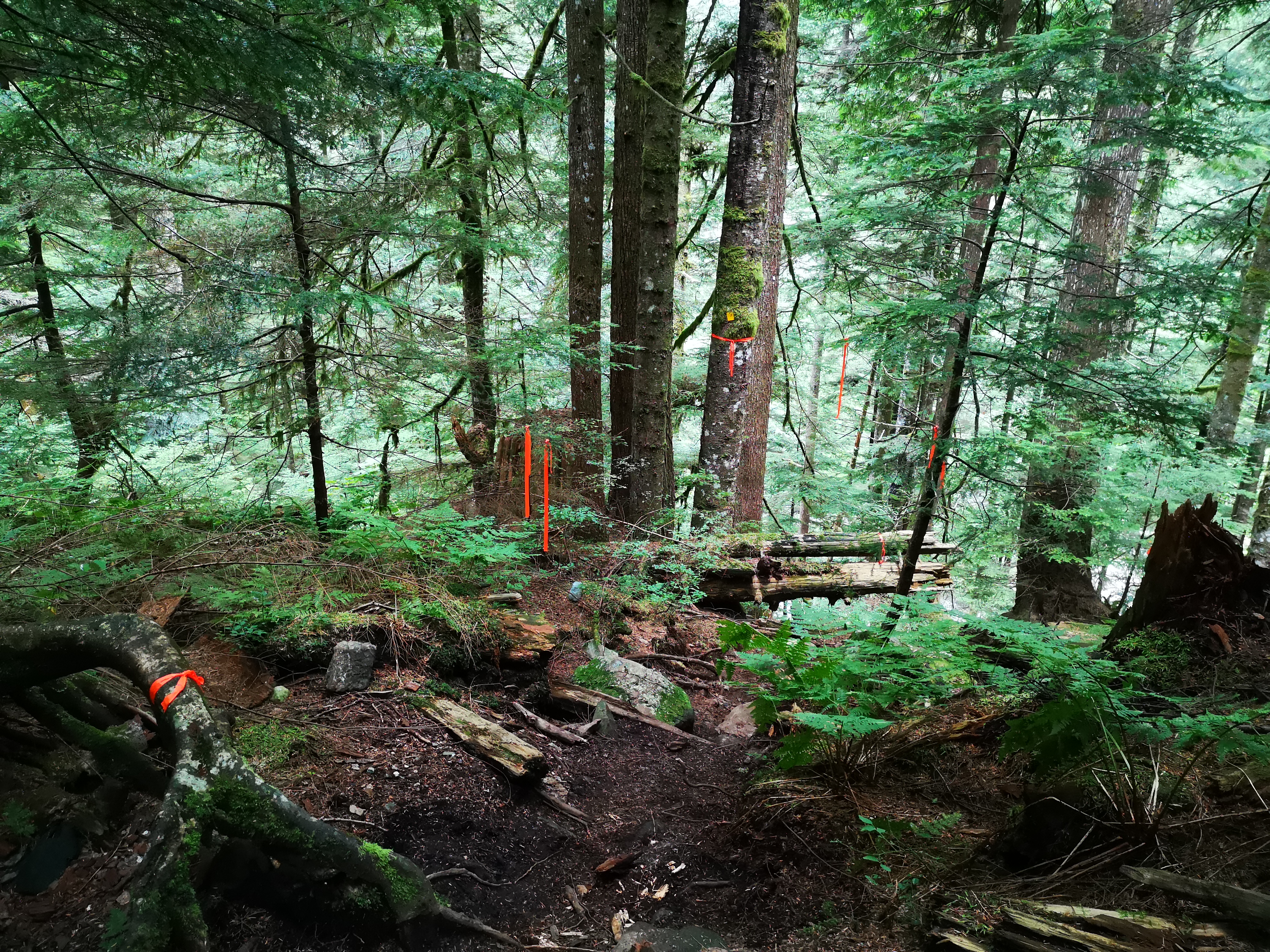
To reach the Hanes trailhead, hike the rolling, 7 km trail to Norvan Falls. Cross the bridge over the water, then continue for about another kilometer until you reach a junction marked with a sign and map. Continuing straight will take you to Lynn Lake. Turning left will take you over a river and onto Hanes. While previous experiences in the Lynn backcountry had left me unimpressed with the trail-marking system (ie: flagging was mostly absent and illogical), I’m happy to report that the park has radically stepped up their game. Every major intersection we came to was marked, not only with signs and arrows, but even a full park map, complete with distances and trail difficulties! There was even brand new flagging on the trails, and yellow markers on the trees. This is probably the best marked area in the North Shore at this point, likely saving North Shore SAR a ton of helicopter rides…
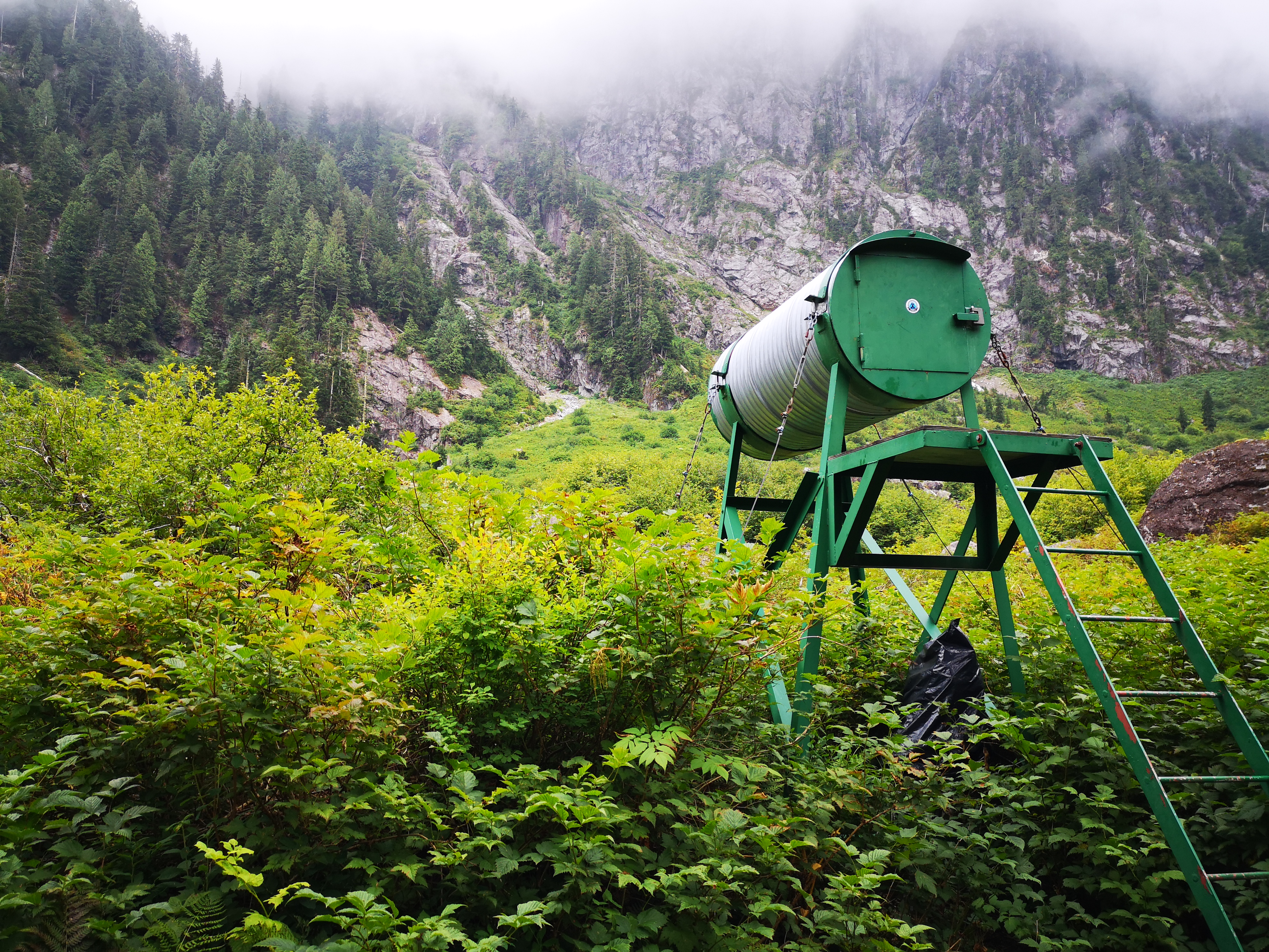
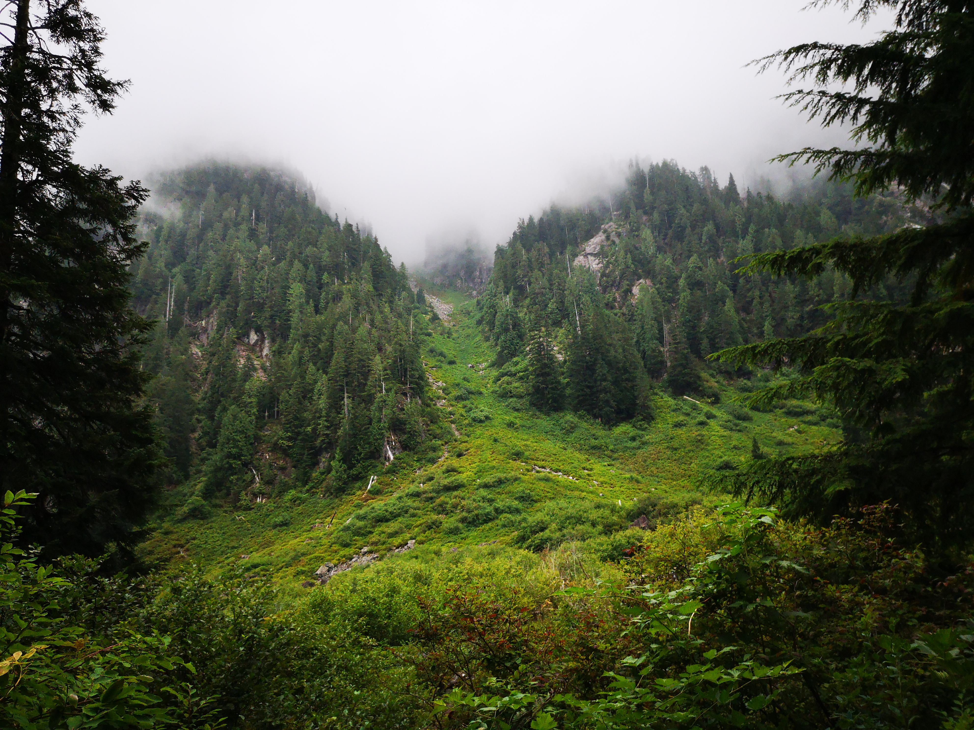
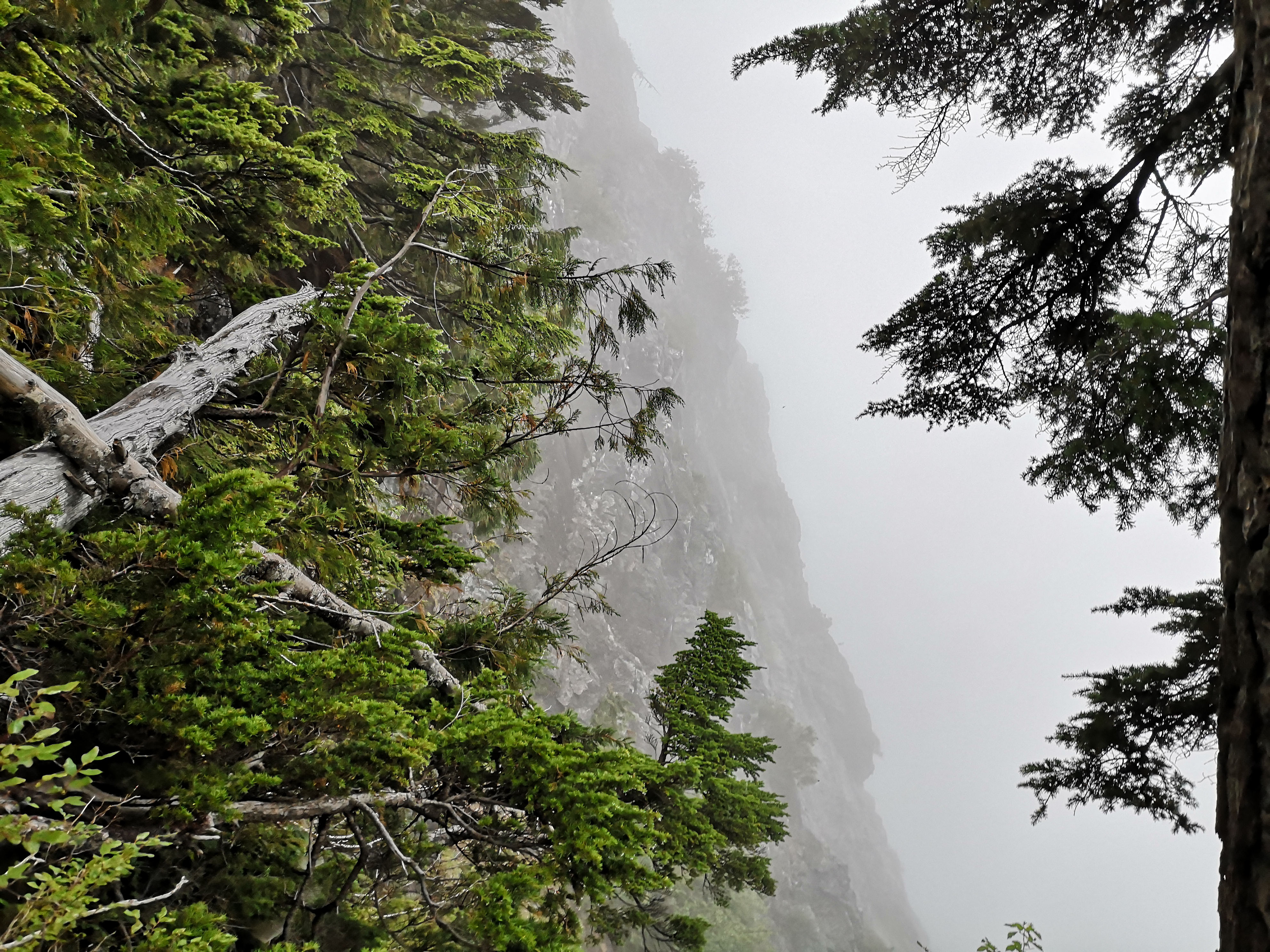
After crossing the river at the start of Hanes via a logjam, the trail continues for a few kilometers, gradually gaining elevation, before leaving the trees. Here, you’ll find a view of the feet of the mountains and a glimpse of the notorious boulder field, plus Search and Rescue’s gear cache and helipad.
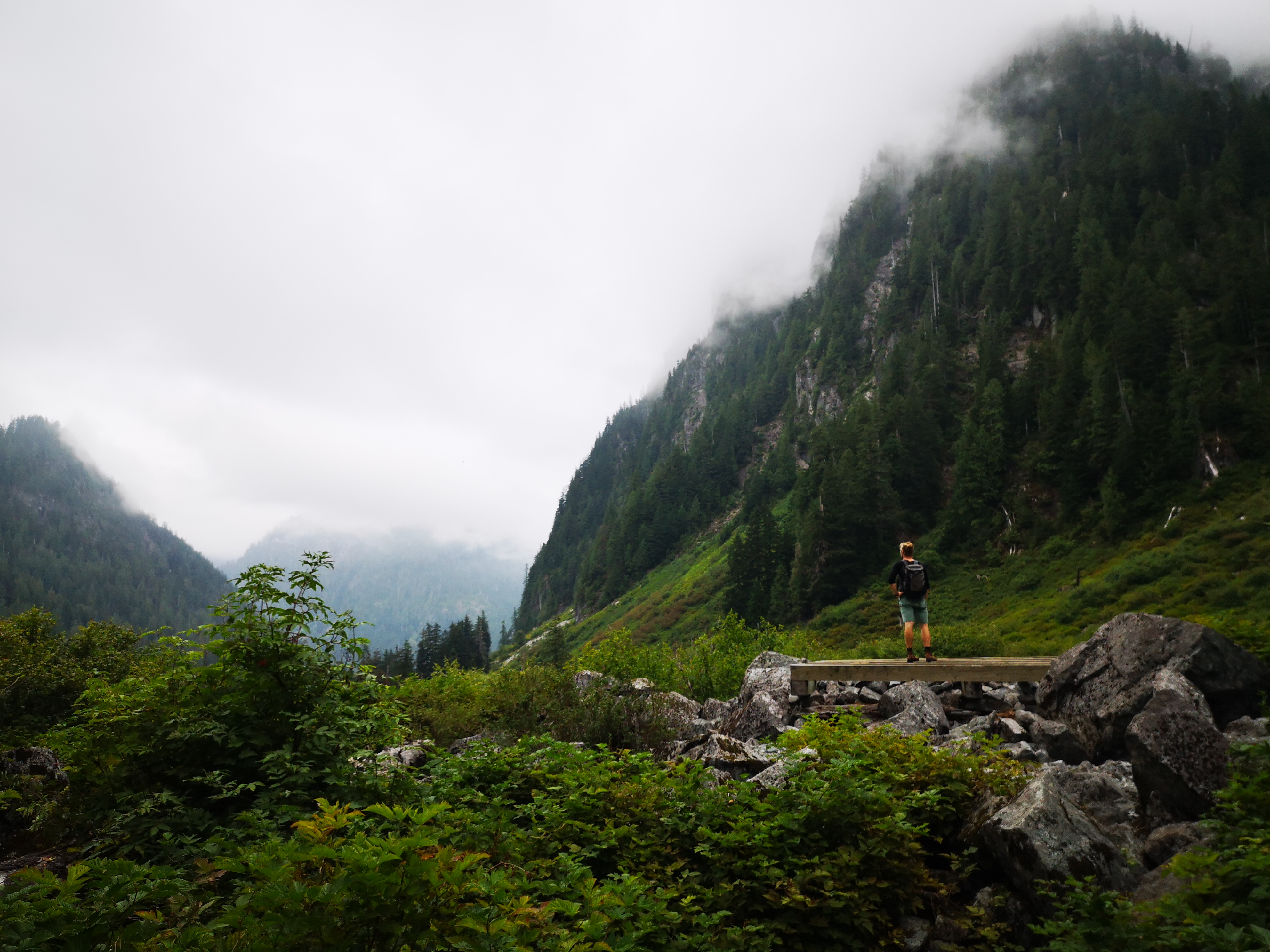

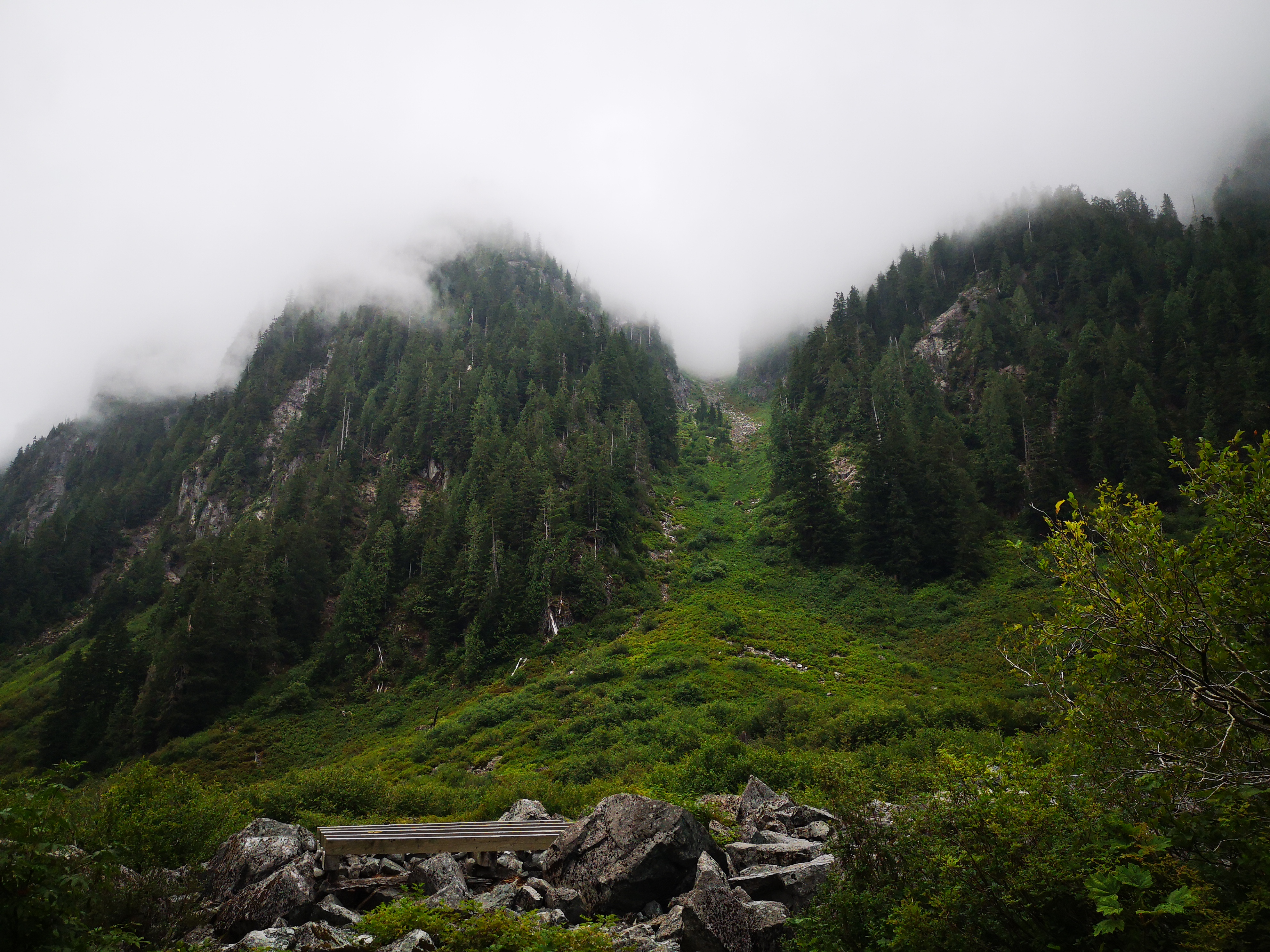
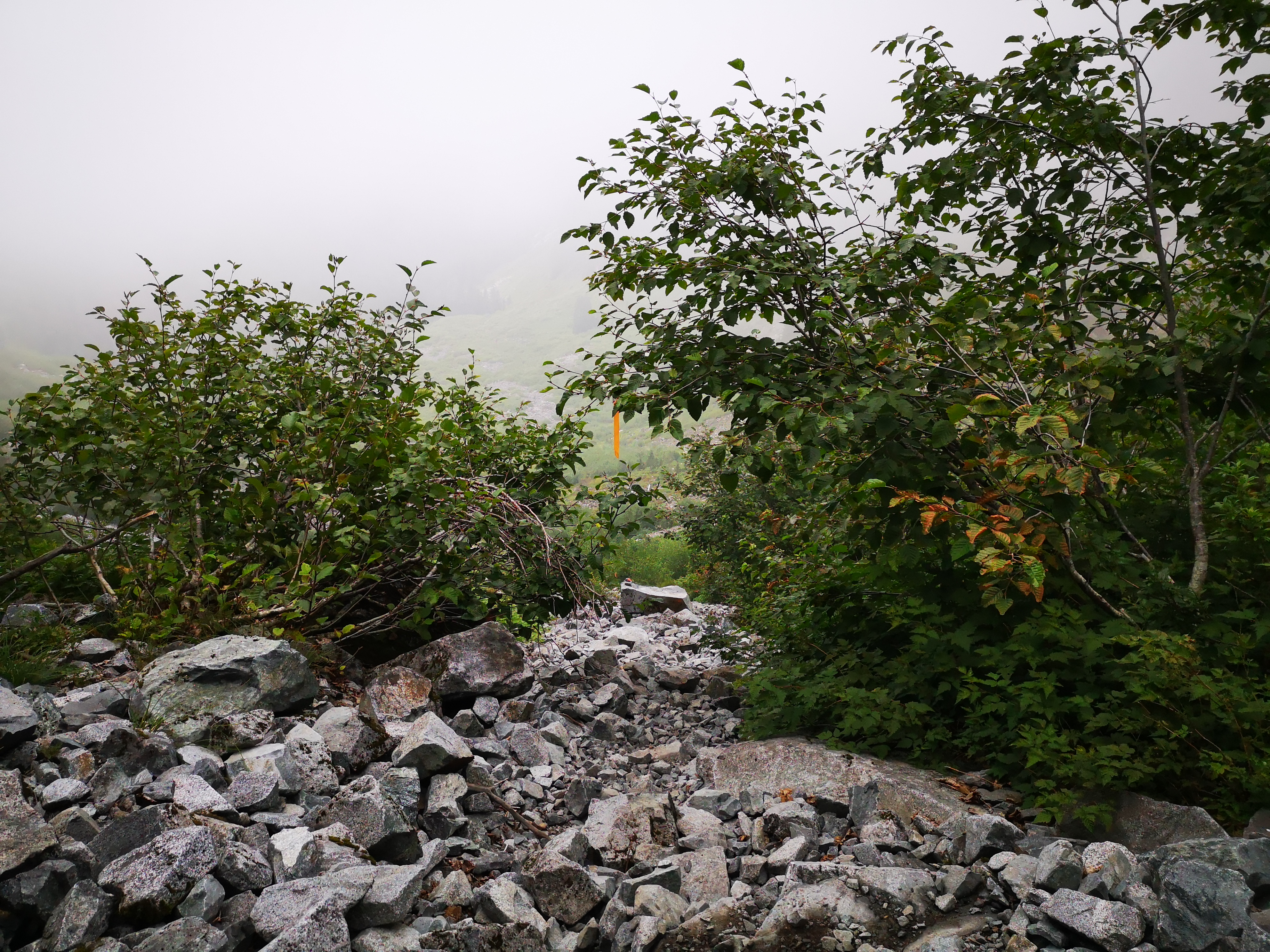
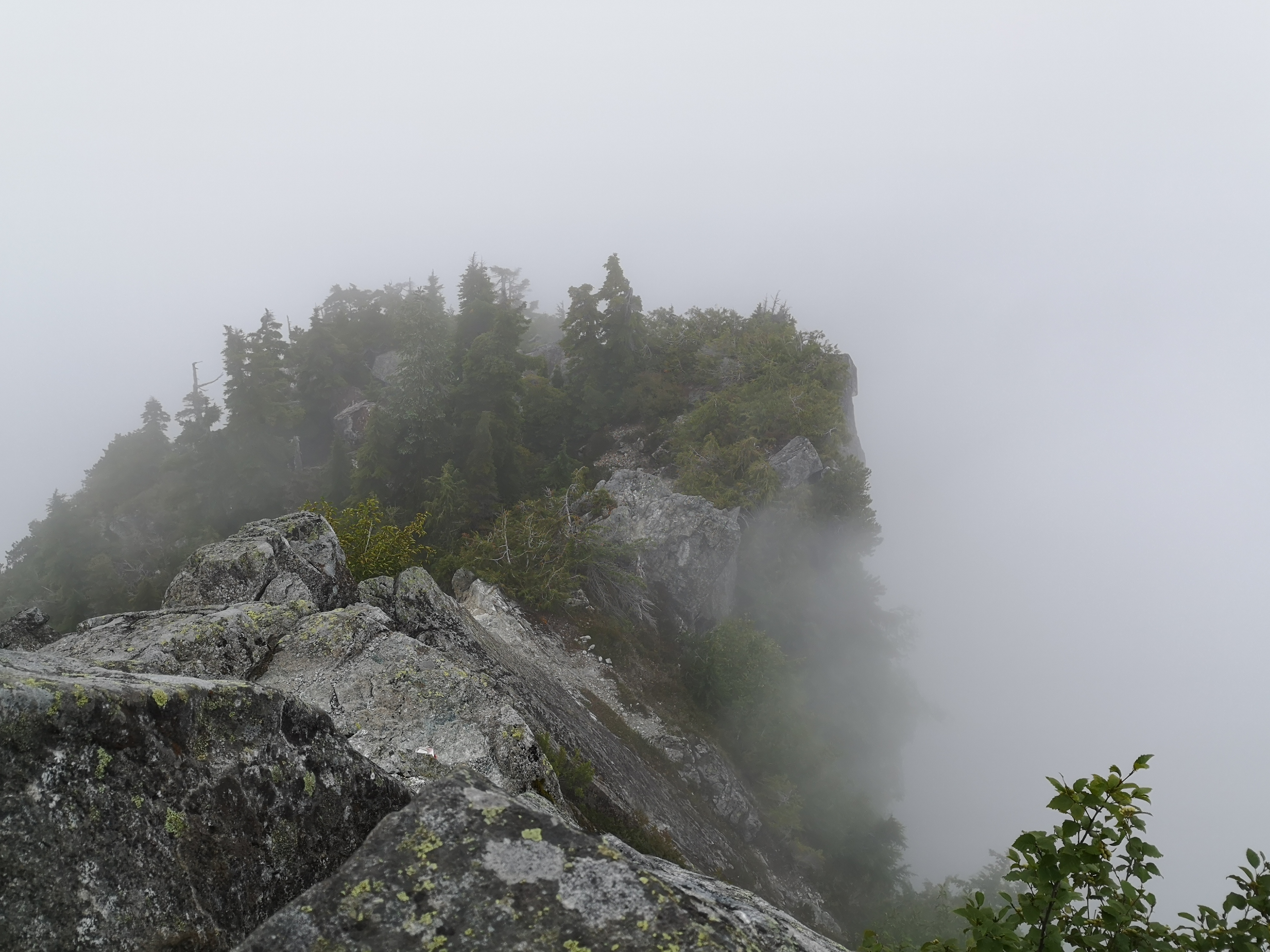
Following the trail up the right side of the valley will take you to the base of the boulder field. You’ll switch-back your way up for around an hour. The rocks are surprisingly stable, and alternate between boulders and talus. A short section of forest hiking after this will leave you at Crown Pass, again marked with a sign and park map. Should you be adding on Crown like we did, take a right, and climb up sharply for about an hour. Should you be heading towards Grouse, take a left, and climb up towards Baby Goat mountain.
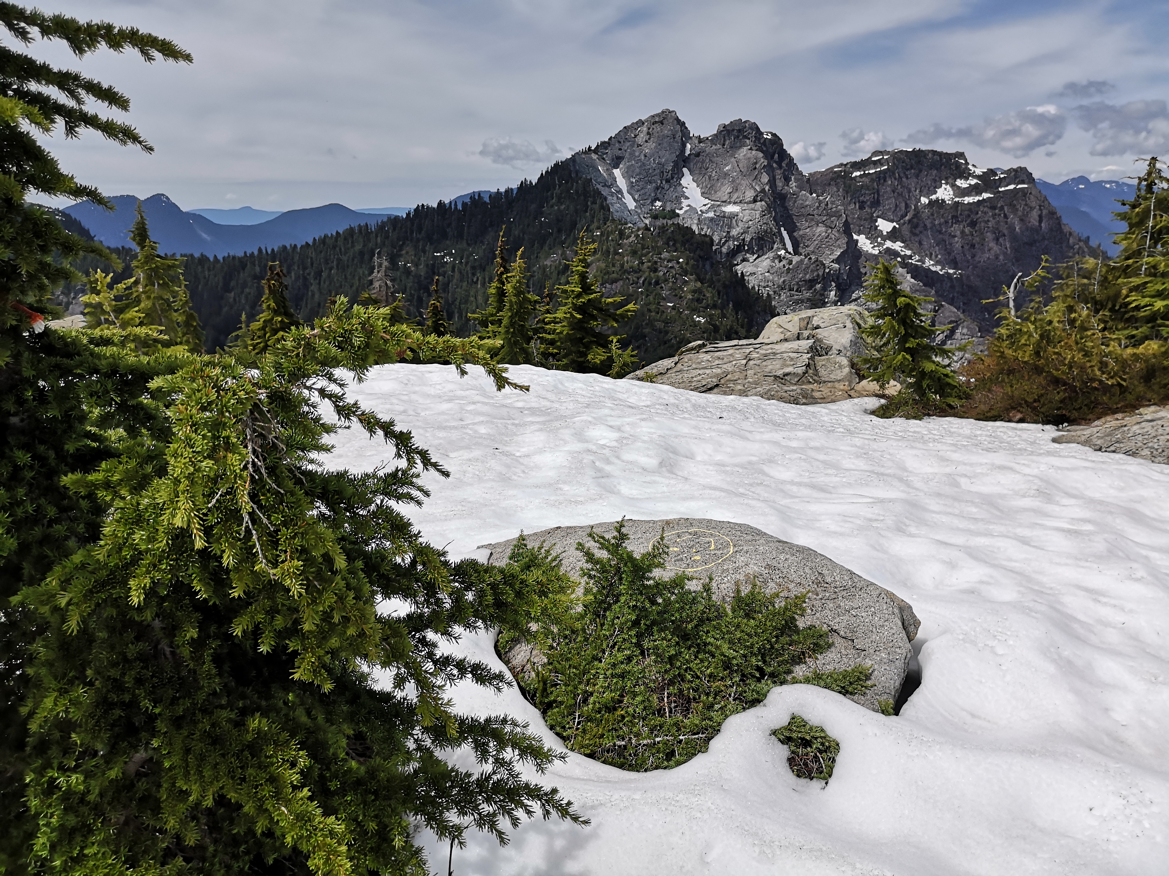
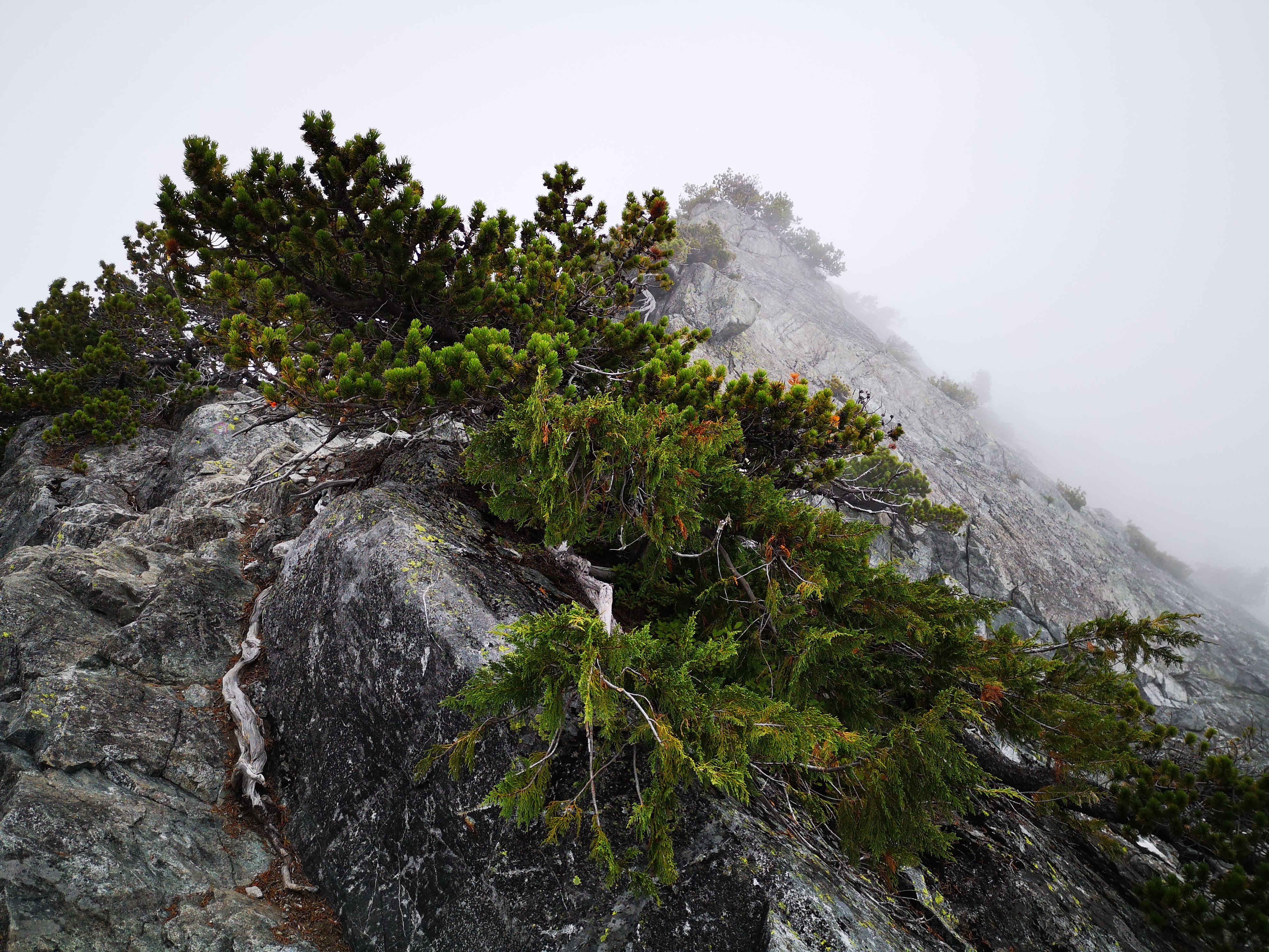
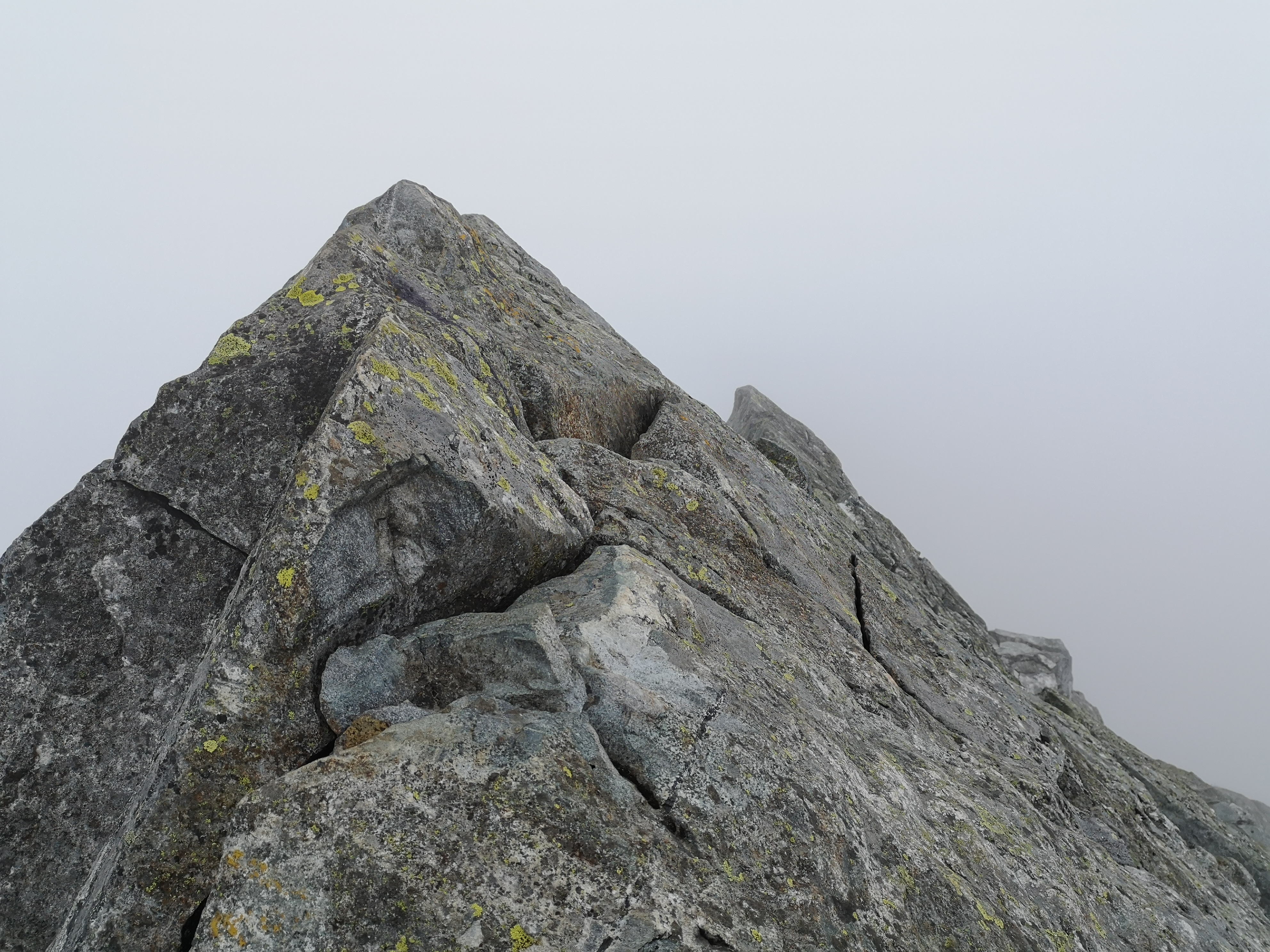
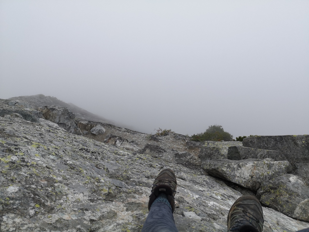
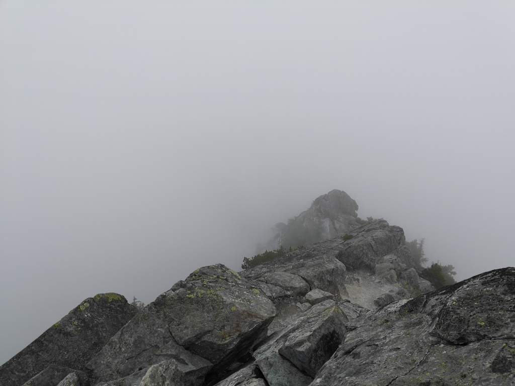
The path to Crown is pretty steep, and includes some sections of scrambling, both on bare rock and up treed slopes. The trail is obvious, with orange spray-paint marking the way through the rocky sections. At the very end, the last few meters require you to climb some exposed rocks to sit on Crown’s angular, pointed peak. While this route is considered a scramble (and anyone with a bit of nerve can do it), there are also a number of rock climbs (the kind that require rope) on both Crown and the neighbouring structure of the Camel, should that be your thing. I wish I could describe the view from the summit to you, but we went on a cloudy day, and unfortunately didn’t get a chance to soak in what I imagine was a stunning view. I think I might have to break rule #1 and do this hike again!
Descending from Crown (and fleeing a few drops of rain), we reached the pass again in about an hour. From here, we slogged up the steep trail to Baby Goat mountain, breathing a sigh of relief when we reached the top, knowing that most of the elevation was finally complete. At the next junction, we went right, following the rolling Alpine trail back to the Grouse chalet, listening to tourists screaming on the Zipline course the whole way. Should you be interested in further upping the ante and completing a double-summit, a left at this junction will take you to Goat mountain.
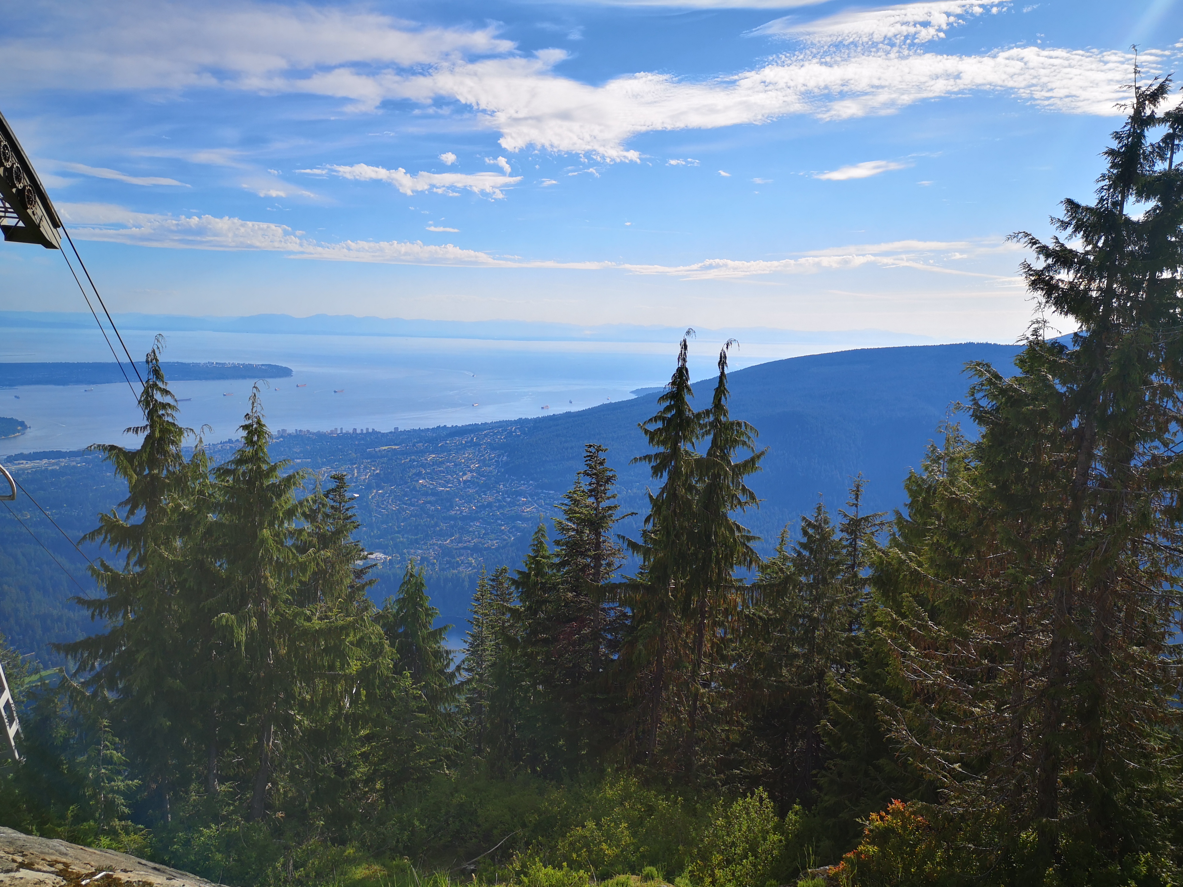
We took a break at the Grouse chalet and satisfied my desperate craving for chocolate milk, then began the final portion: the steep, knee-crushing descent via BCMC. Dusty, hard-packed, and brutal, we were in that final portion of a long day where we just wanted to see the car again! It might have been wiser to the take the less traveled Flint and Feather trail down, but BCMC felt more straightforward after a long day of adventuring. In under an hour, we were back at the car, and soon after, we were again fathoming how to get two bikes into a Toyota Echo. Our tired brains persisted however, and our human-powered circle was celebrated, as planned, with hummus and ice cream.
Trail stats
The total time on the trail was about 8 hours and 15 minutes. The bike ride between trail heads was about 35 minutes, and 11.5 km (7.1 miles). The trail, all sections included, was about 24 km (15 miles) and 1800 m (5905 feet) of elevation gain. It took us about 5 hours to reach the summit of Crown, and more like 3 hours to descend and return to the car.
Note that Hanes Valley is generally considered to be a one-way hike, and is thus rarely completed in the opposite direction (but it’s definitely do-able). However, taking Hanes both in and out would make for an extremely long trail (30+ km), and approaches the limits of terrain that can be covered in a single day.
What are your hiking parameters? Do you have favourite trails that you happily do over and over? Let me know in the comments below!

It looks like an incredible hike. Thanks for the article. Are there any good websites or resources you use for searching for new trails?
LikeLiked by 1 person
Thanks for checking it out! I mostly just use the standards: Vancouver Trails, All Trails, Bivouac and others’ blogs for more obscure routes, etc. Lots of my inspiration for new trails comes from local Instagramers and other blogs though – I keep a running list of places that look really cool. Unfortunately it grows faster than I can knock them off haha! 🙂
LikeLike
Very good article! We are linking to this great content on our website. Keep up the good writing.
LikeLike